
Why is this happening?
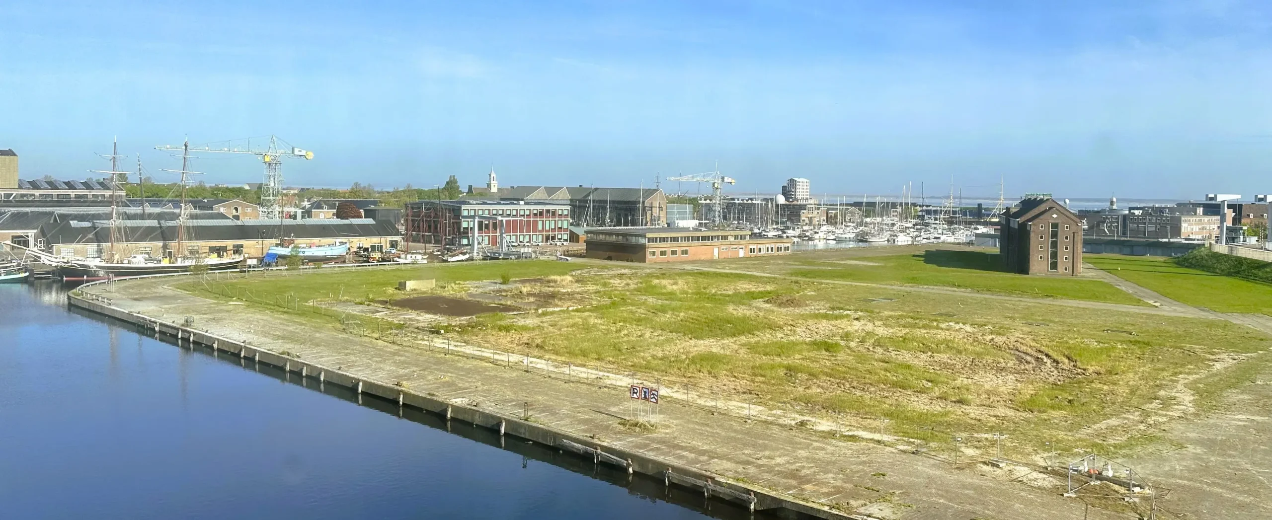
Buitenveld creates a place where the city and the Navy reinforce each other. The project:
- Provides modern accommodations for naval personnel.
- Frees up space in the Nieuwe Haven.
- It brings more vibrancy to Willemsoord thanks to existing amenities such as restaurants, a theater, and the museum harbor.
- Connect the navy, the city, the port, and cultural history.
- Contributes to a sustainable and future-proof environment.
What does the plan look like?
The Buitenveld Spatial Framework was developed in collaboration with the development organization Zeestad and the design firm West8. This framework specifies:
- What the “footprint” of the buildings to be constructed may be (how much space the buildings may occupy on the ground).
- The maximum height allowed for buildings (18.5–28–38 m).
- What guidelines exist regarding visual quality (architecture, outdoor spaces, building plinths)?
- Spatial boundaries and restrictions for the zoning plan.
The Spatial Framework is not a plan, but a framework that the municipality uses to evaluate future permit applications.
Under normal circumstances, the Buitenveld site will blend in with the surroundings as naturally as possible and be accessible to non-motorized traffic. In the event of a threat, it must be possible to seal off the site quickly to ensure the safety of defense personnel. By using fences with hedges and gates featuring historic details, a secure site is created that blends well with the surroundings.
Planning
The Buitenveld Spatial Framework was adopted by the Den Helder City Council in December 2025. Read more about it in this article.